- FOREST
- SCA's FORESTS
- WELCOME TO OUR FOREST
- OUR CONSERVATION PARKS
- NIETSAK-PELTOVAARA
Nietsak-Peltovaara Conservation Park
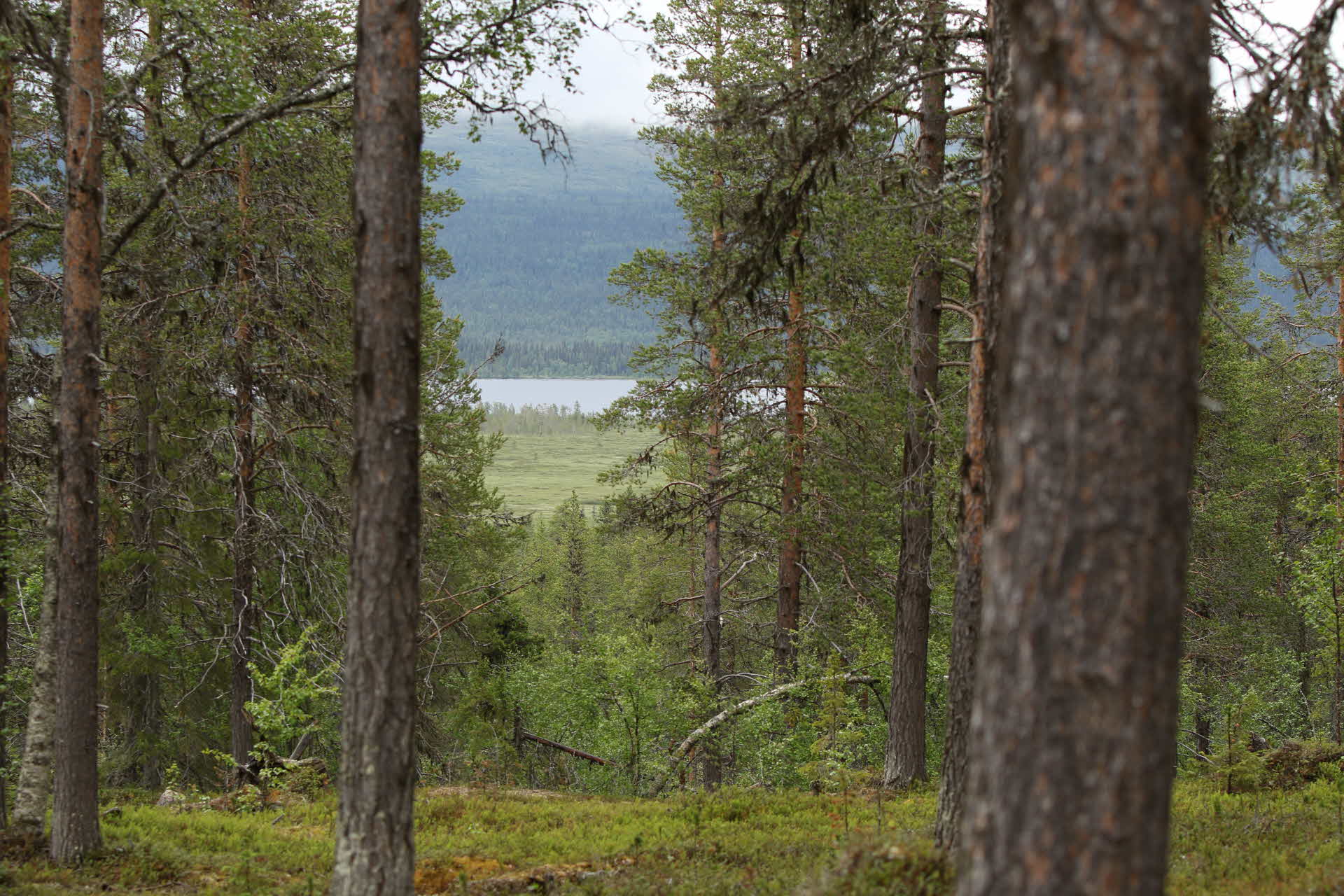
Nietsak-Peltovaara Conservation Park in Norrbotten has a lot of old forests. Here you can find exciting values linked to both the Sami culture and early tourism in the area.
Nietsak-Peltovaara conservation park comprises a total of 3,100 hectares. SCA's goal with the park is to preserve and enhance the natural and cultural values found here. For example, we have felled pine trees with the aim of creating dead wood to mimic the effects that a forest fire has on the trees and cleared trees around an old tar valley and marked different paths.
A variety of forests
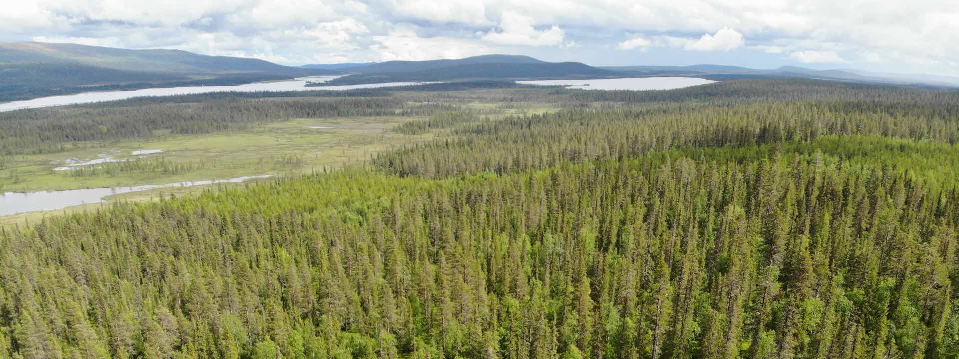
Nietsak-Peltovaara is on either side of road E45. The Peltovaara and Akkavaara mountains are dominated by pine forests on healthy land. Here, forest fires have ravaged extensively and most of the trees in the older forest have grown up after a fire in 1848. Here, among other things, there is a living pine that is over 560 years old.
The park also has younger pine and birch-dominated stands as well as plenty of swamp forests. The majority of the forest is mixed coniferous forests of different ages that have been affected by dimensional felling, that is, fellings that were carried out a long time ago where the thickest trees were removed, usually without subsequent measures to create new forest.
The park has high natural conservation values and rare species are found here. Among other things, Cladonia parasitica and Sclerophora coniophaea have been found. Both are lichens that can hardly be seen with an eye.
Nietsak-Peltovaara conservation park is special in many ways, not least because of the commitment shown to it by the local inhabitants of the area. As part of its involvement, SCA collaborates with the Gellivare folklore society, the Gällivare branch of the Swedish Society for Nature Conservation, the Swedish Forest Agency, Gällivare Municipality and Norrbotten's ornithological society. The management of the area is carried out in collaboration with these players.
The park in figures
- 3,100 hectares
- 1,250 hectares of productive forest land, of which 300 is forest for timber production
- 900 hectares are left untouched or managed for developing natural conservation values
- 60 percent of the forests are older than 120 years
Abborrträsk
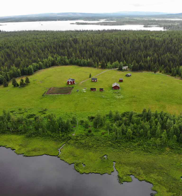
An exciting focal point of the part is Abborrträsk, a settlement from 1757 located beside the lake of the same name. The buildings and the surrounding land have been owned by the Gällivare folklore society since 1990, when they were taken over from SCA.
The buildings and the surrounding land have been owned since 1990 by the Gellivare folklore society, which then took over ownership from SCA. However, SCA supports with various resources, for example that the meadows can be managed with mowers or the fence around the homestead can be fixed.
Abborrträsk is part of Natura 2000, which is a network of selected natural environments, which are considered to be the most valuable environments in Europe.
What to do
- Virgin pine forest featuring one pine tree that are older than 560 years.
- Virgin spruce forest with many red-listed species.
- The Abborrträsk settlement, which was founded in 1757
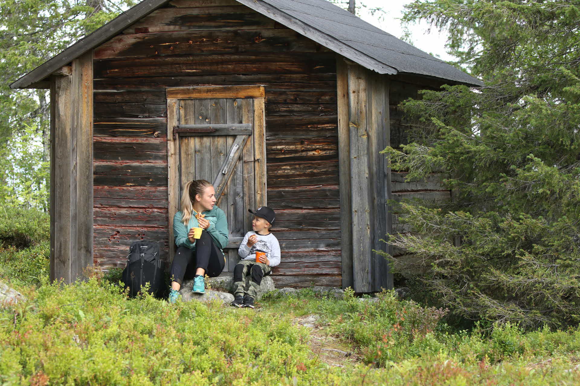
- Timber tourist cabins from the 1860s
- Sami fireplaces, birch bark pits and a sacrificial place.
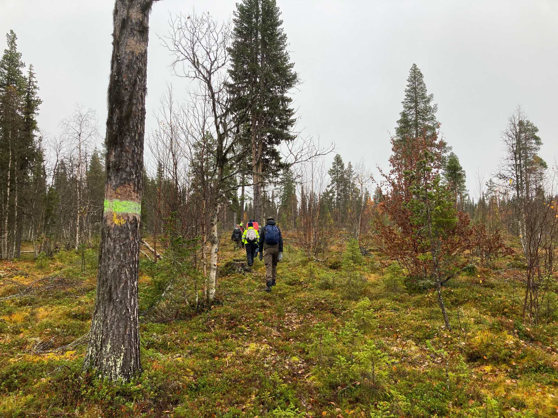
Hiking
In the park there are several hiking paths: red, white, yellow and blue and the so-called Rallar path. Along some paths there are nice wooden benches for tired feet. All the paths can be reached from the rough path, so you don't have to walk the same path back.
- The yellow path is about 1.2 km long. It is called the forest worker's path and goes past the ruins of an old logger's hut which SCA has cleared in order to preserve it.
- The white path goes from Harrijärvi road up the Peltovaara mountain and the potato field that the Abborrträsk settlement had there. The old tourist cabin is also nearby.
- The blue path is about 3.8 km long and starts from the potato field and then goes past several Sami remains.
- The red path starts from the blue path after about 700 meters from the potato field and with 2.2 km to the raw passage. The path leads to Mount Akkavaara. Along the path there are remains of an old tar valley and here you can see several old pine flames. They have probably burned and gone and now lie like beautiful works of art on the ground.
- The Rallar path, an old railway worker trail, runs between Gällivare and Porjus and runs through the park. It is 44 km long and was created as a tourist trail at the end of the 19th century and became a rally trail from the beginning of the 20th century. The Rallar path is still visited by hikers from near and far.
How to get here
Nietsak-Peltovaara is situated 16 km southwest of Gällivare. Road E45 runs through the park.
With a gps: 67.085 • 20.347